


Track and time this hike using a mobile device!
TRACK AND TIME YOUR HIKE
Lynn Peak Trail
 Directions to the Lynn Peak Trail
 Download offline KML trail map of Lynn Peak Trail

Lynn Headwaters Regional Park, North Vancouver
49.363092, -123.026276
8°c Overcast Clouds Humidity: 83% Sunset: 8:18 pm
Track and hike this trail on your mobile device!
Total Distance
(One Direction)
(One Direction)
Total Ascent

Elevation Profile
Trail Description
Hike to the Lynn peak at Lynn Headwaters Regional Park in North Vancouver! As the trail is often a creek bed. conditions are very poor in some areas. Expect high traffic on weekends as this is a very convenient alternative to the BCMC trail or the Grouse Grind (except the return-trip is mandatory). See a few viewpoints on the way to the peak with views of both the Lynn Valley and Seymour Valley. The view from the top faces east and overlooks the Second Narrows Bridge.
Photos of the Lynn Peak Trail (2)

 Add your own photos
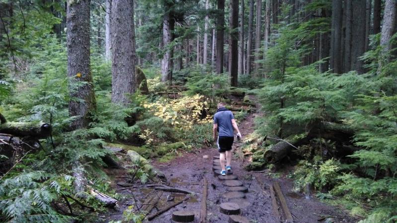
matthew.inouye
Mar 4th 2018
Lynn Peak trail
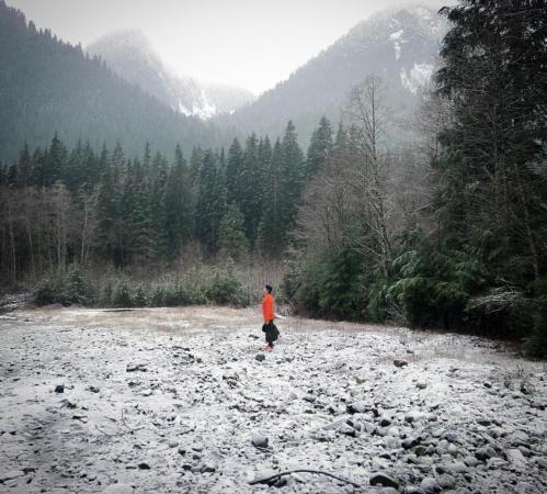
yukiandbee
Apr 14th 2018
Saturday Hike
Easy, short and fun trail
Download Free KML Trail Map for the Lynn Peak Trail
 The Lynn Peak Trail is equipped with a free downloadable offline trail map that can used in Google Earth, Google Maps/KML enabled cell-phone or in a GPS device.
Download KML trail map
The Lynn Peak Trail is equipped with a free downloadable offline trail map that can used in Google Earth, Google Maps/KML enabled cell-phone or in a GPS device.
Download KML trail map
Trails near the Lynn Peak Trail
Lynn Loop Trail 210 meters away
Norvan Falls Trail 210 meters away
Rice Lake Loop 1.5 km away
Varley Trail 1.6 km away
Seymour Valley Trailway 1.6 km away
Top Trail Times
| # | Hiker | Date | Start Time | Duration |
Comments
