


Track and time this hike using a mobile device!
TRACK AND TIME YOUR HIKE
 Coquitlam Crunch Trail is part of the Stairclimbers hiking tour.
Coquitlam Crunch Trail
 Directions to the Coquitlam Crunch Trail
 Download offline KML trail map of Coquitlam Crunch Trail

Harrier Park, Coquitlam
49.285307, -122.815645
8°c Moderate Rain Humidity: 86% Sunset: 8:18 pm
Track and hike this trail on your mobile device!
Total Distance
(One Direction)
(One Direction)
Total Ascent

Elevation Profile
Trail Description
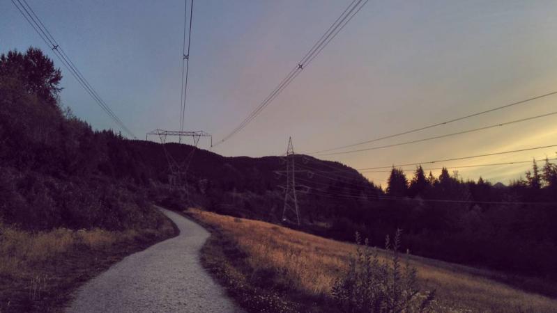
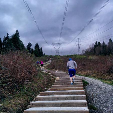
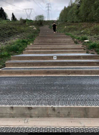
Metro Vancouver's unofficial alternative to the Grouse Grind, the Coquitlam Crunch is a very popular urban trail that heads north towards Eagle Mountain Drive. The trail has made use of open area beneath high voltage power lines. Accessible off of a major transit route and with ample parking. The first quarter of the trail is set on 438 wooden steps. It's common to find locals running circuits up and down the stairs. The Coquitlam Crunch trail is undergoing significant renovations including the addition of a parallel trail that loops around.
Photos of the Coquitlam Crunch Trail (5)


 Add your own photos
matthew.inouye
Mar 3rd 2018
Towards the end of the the Coquitlam Crunch trail
matthew.inouye
Mar 3rd 2018
Running up the stairs
matthew.inouye
Mar 3rd 2018
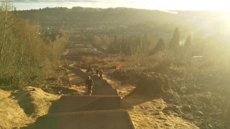
View down the new east stairs
yukiandbee
May 6th 2019
Crunching
yukiandbee
May 6th 2019
Crunching
Download Free KML Trail Map for the Coquitlam Crunch Trail
 The Coquitlam Crunch Trail is equipped with a free downloadable offline trail map that can used in Google Earth, Google Maps/KML enabled cell-phone or in a GPS device.
Download KML trail map
The Coquitlam Crunch Trail is equipped with a free downloadable offline trail map that can used in Google Earth, Google Maps/KML enabled cell-phone or in a GPS device.
Download KML trail map
Trails near the Coquitlam Crunch Trail
Hoy Creek Trail 1.1 km away
Noons Creek Trail 1.3 km away
Shoreline Trail 2.5 km away
Bert Flinn Trail 2.5 km away
Ridge Park Loop Trail 2.6 km away
Top Trail Times
| # | Hiker | Date | Start Time | Duration |
| 1 | Matthew Inouye | May 27, 2020 | 16:34:17 | 00:12:06 |
| 2 | Matthew Inouye | Mar 28, 2018 | 17:34:01 | 00:13:07 |
| 3 | Matthew Inouye | May 26, 2020 | 18:22:49 | 00:13:08 |
| 4 | Matthew Inouye | Jul 15, 2018 | 10:37:24 | 00:13:26 |
| 5 | Matthew Inouye | Mar 1, 2020 | 10:32:46 | 00:14:16 |
| 6 | Matthew Inouye | Jul 21, 2019 | 15:54:43 | 00:14:42 |
Comments
