


Track and time this hike using a mobile device!
TRACK AND TIME YOUR HIKE
West Canyon Trail
 Directions to the West Canyon Trail
 Download offline KML trail map of West Canyon Trail

Golden Ears Provincial Park, Maple Ridge
49.327309, -122.463193
5°c Clear Sky Humidity: 53% Sunrise: 6:09 am
Track and hike this trail on your mobile device!
Total Distance
(One Direction)
(One Direction)
Total Ascent

Elevation Profile
Trail Description
Only a short drive from the city and you're immersed in a full-fledged backcountry adventure. The West Coast Trail to the peak of Golden Ears Mountain is an ambitious, difficult and rewarding trail to hike. If you are going to camp overnight, register at discovercamping.ca/GoldenEars before you get started.
For the first third to Alder Flats, the trail is relative easy with a mix of gravel, forest bed and boardwalks. Once you reach the Alder Flats, there is an outhouse, several spots to camp and rest.
Beyond the Alder Flats, the trail gets more interesting and begins to take a steep ascent up towards Panorama Ridge. This stretch of the trail can be incredible steep at times and highly technical to cross.
Once you reach the final third at the Panorama Ridge, the terrain changes to mountain alpine and the views are fairly spectacular on a clear day. Follow the trail to the Emergency Shelter complemented with a flushing toilet and five wooden pads to camp out. The peak is only a few minutes away.
Photos of the West Canyon Trail (4)

 Add your own photos
matthew.inouye
Aug 15th 2019
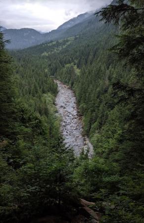
View of Gold Creek
Accessible right on the trail as it bends west. Stop and take a picture but don't block the narrow path!
matthew.inouye
Aug 15th 2019
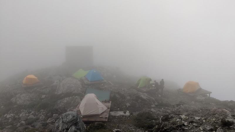
Camping Pads and Emergency Shelter
About a kilometer from the peak are five wooden pads to place tents and an emergency shelter with a toilet.
matthew.inouye
Aug 15th 2019
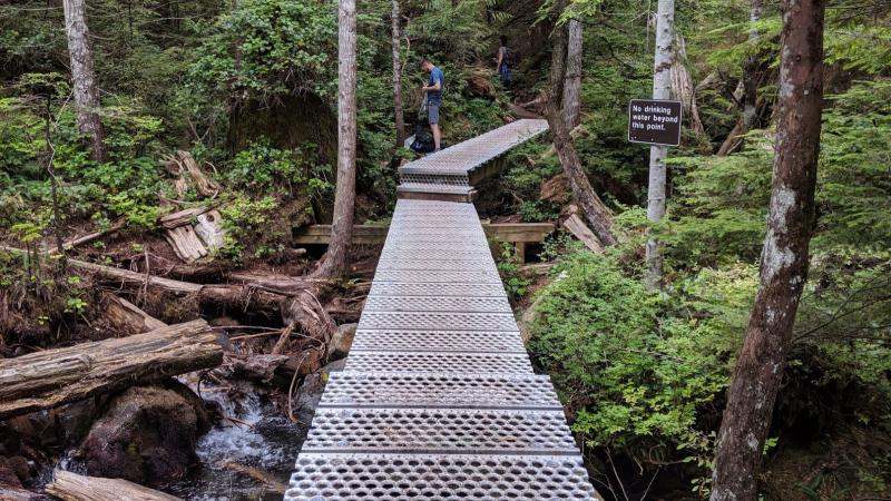
Last chance for drinking water
According to BC Parks, this is the last certain chance for drinking water. However, there are often other spots with flowing water even int he middle of summer. The creek is easily accessible from the elevated boardwalk.
matthew.inouye
Aug 15th 2019
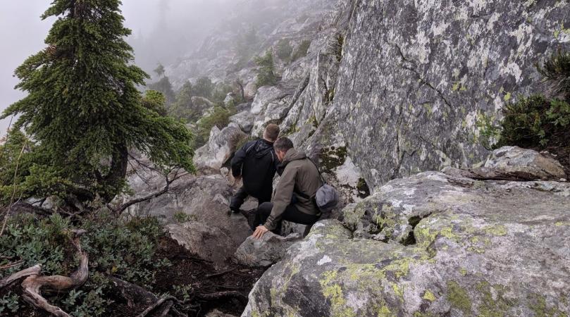
Scaling the cliff side on Panorama Ridge
Tags
Download Free KML Trail Map for the West Canyon Trail
 The West Canyon Trail is equipped with a free downloadable offline trail map that can used in Google Earth, Google Maps/KML enabled cell-phone or in a GPS device.
Download KML trail map
The West Canyon Trail is equipped with a free downloadable offline trail map that can used in Google Earth, Google Maps/KML enabled cell-phone or in a GPS device.
Download KML trail map
Trails near the West Canyon Trail
Lookout Trail 4.7 km away
Loop Trail 4.7 km away
Spirea Nature Trail 4.7 km away
Alouette Trail 7.9 km away
Lakeside Trail Mike Lake 8.1 km away
Comments
